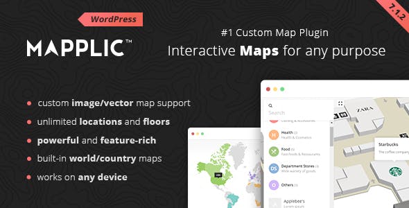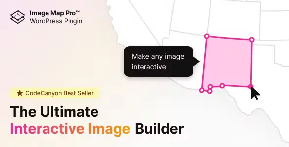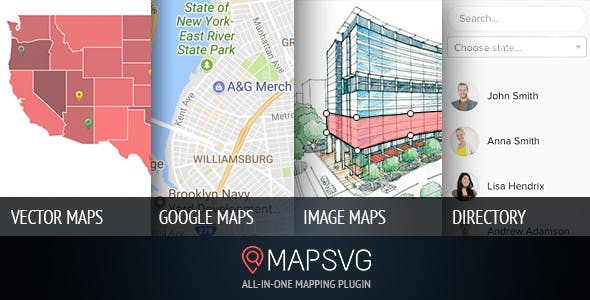

MapSVG Interactive Maps Plugin
Convert any vector or jpeg/png image into an interactive map with MapSVG Interactive Maps Plugin
More than 100 countries and world maps are included in MapSVG Interactive Maps Plugin
Add search and filters: Do you need to create a store location map with search for nearby stores by distance? It's possible with MapSVG Interactive Maps Plugin!
Show details view: It can be placed on or off the map in any custom container.
Google Maps: Overlay vector maps on Google Map.
Features of MapSVG Interactive Maps Plugin:
- Draw your artwork in any vector editing software and overlay it on Google Map.
- MapSVG interactive maps plugin is the best choice!
- Create custom objects and display them on a map. Add custom fields: text, image, select, radio, checkbox, wp_post, date.
- Displays a list of custom objects in a directory with search and filters.
- Add markers to a map by simply entering an address.
- Add filter by distance. Search for nearby locations.
More than a WordPress map plugin
MapSVG Interactive Maps Plugin is a WordPress map plugin that helps you create custom content (people, real estate, events, or anything else) and display it in a vector, image, or Google Maps, with filters and search. Use one of the 100+ included vector maps. Draw a custom map or plan in your favorite vector graphics software and make it dynamic with our interactive WordPress map plugin.
Get MapSVG Interactive Maps Plugin now.
The products published on the site are distributed under license GPL / GNU. Always remember to check our Terms of use Y Privacy Policy.